Gheens Project Area
The Gheens boundary is the area enclosed by a polygon beginning at the intersection of the Bayou Lafourche and LA Highway 182. The boundary continues generally north east along LA Highway 182 to the intersection of US Highway 90 and then continues northeast along US Highway 90 to the Lafourche Parish Line in Des Allemandes. The boundary then continues southeast along the Lafourche Parish line to the intersection of the Lafourche Parish Line with the Company Canal. The boundary then runs along the Company Canal generally to the west and south to the intersection of the Company Canal and Bayou Lafourche in Lockport. The boundary then meanders up the east bank of Bayou Lafourche to the point of beginning at the intersection of LA Highway 182 in Raceland.
For a list of the District’s Active and Completed projects, please see the Projects Page.


Gheens Project Area, North Lafourche Levee District 
Gheens Project Area, North Lafourche Levee District 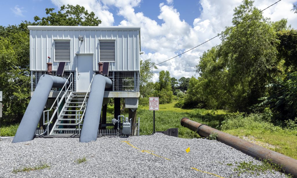
Gheens Project Area, North Lafourche Levee District