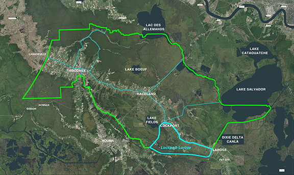
Lockport-Larose Project Area
The boundary is the area enclosed by a polygon beginning at the intersection of Bayou Lafourche and the Company Canal in Lockport. The boundary runs generally south and east along the eastern bank of the Company Canal to the intersection of the Company Canal and the GIWW. From there, the boundary follows the north bank of the GIWW west than turning northwest to the intersection of the GIWW and Bayou Lafourche in Larose. At this point the boundary meanders generally north and west along the west bank of Bayou Lafourche back to the point of beginning at the intersection of Bayou Lafourche and the Company Canal in Lockport.
For a list of the District’s Active and Completed projects, please see the Projects Page.

Edna Consolidated Pump Station, Lockport – Larose Levee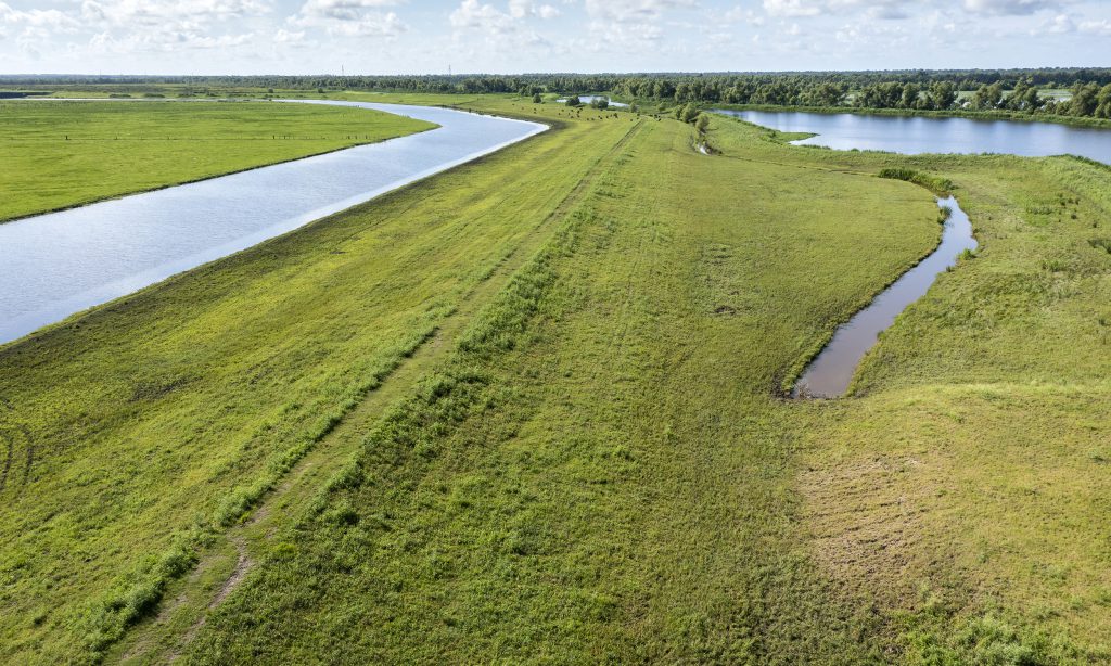
Lockport – Larose Levee Project Reaches C4, C5, D1 
Edna Consolidated Pump Station, Lockport – Larose Levee 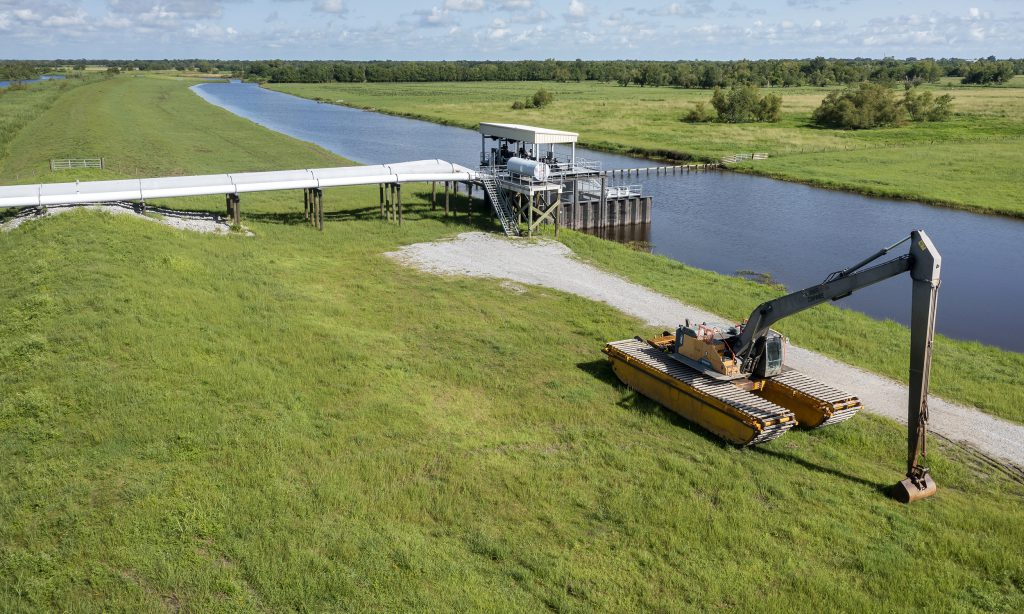
Edna Consolidated Pump Station, Lockport – Larose Levee 
Lockport – Larose Levee Project Reaches C4, C5, D1 
Lockport – Larose Levee Project Reaches C4, C5, D1