St. James Project Area
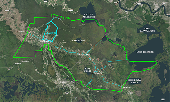
The St. James boundary is the area enclosed by a polygon beginning at the intersection of Bayou Lafourche and Lafourche Parish Line northwest of Thibodaux. The Boundary then follows the Lafourche Parish Line north then east to the intersection of the Lafourche Parish Line and LA Highway 20. The boundary continues generally south and west The boundary is the area enclosed by a polygon beginning at the intersection of Bayou Lafourche and LA Highway 20 (North Canal Blvd.) in Thibodaux. The Boundary then follows LA Highway 20 north and east to the intersection of LA Highway 20 and the Choctaw Road. The boundary then follows the Choctaw Road generally to the south east to the intersection of the Choctaw Road and the Laurel Valley Road. From there the boundary follows the Laurel Valley Road generally south to the intersection of Laurel Valley Road and LA Highway 308 extending across LA Highway 308 to Bayou Lafourche. From there the boundary meanders up the east bank of Bayou Lafourche to the point of beginning at the intersection of North Canal Blvd. in Thibodaux.
For a list of the District’s Active and Completed projects, please see the Projects Page.