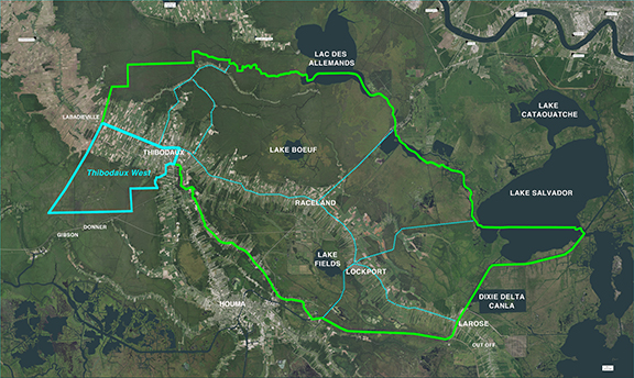
Thibodaux West Project Area
The boundary of the Thibodaux West Project Area is the area enclosed by a polygon beginning at the Lafourche Parish line from Bayou Lafourche at the northern most part of the Parish going southwest to the western most point (corner) of the Parish. Then it goes east, north and then east again along the Parish line. From this point the boundary meanders generally northeast along the Parish line to Canal Blvd where it then continues east and then southeast along the Parish line to the top of the Acadia Ridge. The boundary then follows the Acadia Ridge north to the Percy Brown Road where it continues towards the northwest then west along the Acadia Ridge (old railroad corridor) across Canal Blvd, along Lawrence Avenue to Ridgefield Road. The boundary then continues northwest up west bank of Bayou Lafourche to the point of beginning.
For a list of the District’s Active and Completed projects, please see the Projects Page.